The Lakota called this country mako sica and French trappers called it les mauvaises terres à traverser; both mean roughly the same thing: bad lands. It is also one of the richest fossil beds on Earth, and it is eroding away at about an inch a year, which by geological standards is a sprint.
Badlands is one of the 63 national parks in ParkStamp. Like every park in the app, it has its own original stamp designs in the WPA poster tradition, and each one illustrates a real place you can go stand in front of.
The record itself is free. Check in when you're there, backfill a visit from any year, or let the app work out dates and locations from the photos already sitting in your camera roll.
The real NPS boundary, with the roads and towns you would actually use to get there.
Badlands, for people who count parks
A sixty-mile wall of fossils, on schedule to erase itself.
The name is a straight translation. Lakota and French speakers arrived at the same verdict for the same reasons: little water, clay that turns to grease in rain, and a maze of ravines between anywhere and anywhere else. The feature that defines the park is the Wall, a rampart of carved rock running roughly sixty miles between the upper and lower prairie. It erodes about an inch a year, fast enough that in roughly half a million years the Badlands will simply be gone. The area became a national monument in 1939 and a national park on November 10, 1978: protection, in effect, for a demolition in progress.
American paleontology grew up here. Fossils from the White River Badlands were being collected and described by the 1840s, before the Civil War, and the beds remain among the richest anywhere for mammals of the late Eocene and Oligocene: three-toed horses, early camels, oreodonts by the herd, rhino-sized brontotheres, and nimravids (cats in every respect except ancestry, saber teeth included).
The Big Pig Dig started with a picnic. In 1993, visitors at the Conata picnic area spotted a large backbone weathering out of the ground and reported it. The bone was assumed to belong to Archaeotherium, a giant pig-like scavenger, so the site got its name; the skeleton turned out to be a hornless rhinoceros, but the name stuck. Crews and students excavated the site for fifteen summers and recovered more than 19,000 fossils. The lesson stuck too: bones surface here constantly, and the park asks visitors to photograph and report finds, not pocket them.
The South Unit is a different story, and a harder one. The Stronghold country lies inside the Pine Ridge Reservation and has been co-managed with the Oglala Sioux Tribe since the 1970s. In 1890 Stronghold Table held one of the last Ghost Dances before the massacre at Wounded Knee. In 1942 the Army Air Forces took hundreds of square miles of it for an aerial gunnery range, giving resident Lakota families little time to leave, and unexploded ordnance still turns up in the ravines.
The black-footed ferret was declared extinct twice. Then in 1981 a Wyoming ranch dog dropped a dead one on a porch, a wild remnant population was found nearby, and every black-footed ferret alive today descends from 18 animals taken into captive breeding. Reintroductions began in the 1990s, and the prairie in and around this park became one of the recovery's strongholds. Ferrets are nocturnal and live down prairie dog burrows, so you will almost certainly never see one. The point is that it is out there.
Prairie dog towns are the infrastructure. Their digging turns and aerates the soil, their burrows shelter burrowing owls, snakes and salamanders, and the ferret eats almost nothing else. Roberts Prairie Dog Town, along the gravel Sage Creek Rim Road, sprawls across the flats in every direction, and the standing-sentry silhouette is as much a signature of this park as the rock.
The big grazers came back by truck. Bison were reintroduced in 1963 and now run wild in the Sage Creek country. The Badlands' original Audubon's bighorn went extinct early in the 20th century; Rocky Mountain bighorn were brought in beginning in 1964 and now pose on the pinnacles, frequently right below the overlook railings.
Pronghorn are overbuilt. The fastest land animal in the Western Hemisphere, capable of well over 50 miles an hour, evolved that speed outrunning the American cheetah, which has been extinct for around 12,000 years. Nothing on the modern prairie can touch them. They run like that anyway.
The Badlands designs
Pick the one that matches the park you actually saw.
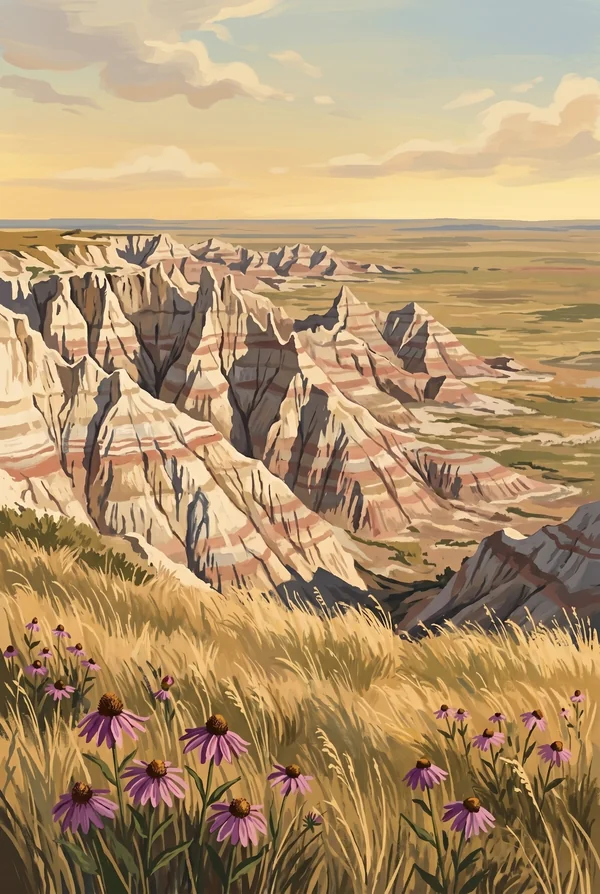
Pinnacles Overlook
The high western anchor of the Badlands Wall, looking down over the Sage Creek wilderness where the park's bison herd lives. Bighorn sheep turn up on the spires below the railing often enough that the parking lot doubles as a wildlife jam. It is the classic sunset overlook, when low light picks out every band of red and gray in the rock.
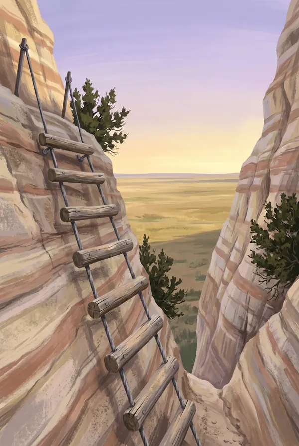
Notch Trail
A mile-and-a-half round trip that behaves like a much bigger hike: up a canyon of soft rock, straight up a log ladder, then along a ledge to a notch in the Wall. The reward is the drop-away view over the White River valley toward Pine Ridge. Not the place for a fear of heights or a wet day, since the clay turns slick in rain.
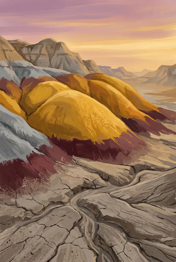
Yellow Mounds
Hills striped mustard-yellow and purple along the loop road, and the strangest geology lesson in the park: these are fossil soils. An ancient black seafloor shale weathered into soil in the open air, was buried under later sediment, and is now being exhumed. The color is a landscape that existed tens of millions of years ago, dug back up.
How to record your Badlands visit
Free, and it works whether you are standing there now or remembering a trip from years ago.
1
Check In at the park
Open ParkStamp inside the park boundary and check in. The app confirms you are actually there and logs the date.
2
Or Stamp It later
Already been? Pick the date yourself. Trips from decades ago count the same as last weekend.
3
Or scan your photos
Let ParkStamp read the dates and locations off photos already on your phone. Most people find parks they had forgotten.
Badlands, asked and answered
Quick answers, for people planning a trip and people remembering one.
When is the best time to visit Badlands?
June turns the prairie green against the bare rock, which is the park at its most photogenic. Summer runs hot, over 100°F routinely, with theatrical afternoon thunderstorms you can watch coming for miles. September and early October bring golden grass and cool air. Winter is empty, windswept and severe, but the Wall under snow is worth the detour if you are already crossing South Dakota.
How many days do you need at Badlands?
The loop road takes half a day with stops, so one full day covers the park well: the overlooks, the short trails at the Notch and the Door, and the gravel Sage Creek Rim Road for bison and prairie dogs. Stay through nightfall if you can; the dark sky and the dawn light on the formations are the two best shows here.
How busy is Badlands?
Badlands National Park logged 1.14 million visits in 2025, the 26th busiest of the 63 national parks. That puts it in the middle of the pack: busy at the famous spots, quiet a mile past them.
What does the Badlands stamp show?
The lead Badlands design is Pinnacles Overlook. The high western anchor of the Badlands Wall, looking down over the Sage Creek wilderness where the park's bison herd lives. Bighorn sheep turn up on the spires below the railing often enough that the parking lot doubles as a wildlife jam. It is the classic sunset overlook, when low light picks out every band of red and gray in the rock. The other two designs are Notch Trail and Yellow Mounds.
Is the Badlands stamp free?
Recording your Badlands visit is always free: check in at the park, add an old trip, or let the photo scan find it. The full-color art is the paid part, $3.99 one-time with three Badlands designs to choose from, and the first stamp you collect in ParkStamp is free.
Can I add a Badlands trip from years ago?
Yes. Open Badlands in ParkStamp, tap Stamp It, and set the date yourself; a visit from decades ago counts the same as last weekend. If you still have photos from the trip, the photo scan can find and date it from their location tags, without your photos ever leaving your phone.
Do I have to be at Badlands to get the stamp?
No. Check In is for when you are standing inside Badlands, and it confirms you are actually there. Stamp It records any past visit on your honor, with your dates. Both are free and put the same stamp in your StampBook.
Start your StampBook with Badlands
Free on iOS and Android. Your first stamp is on us.